The Alajoki cultural landscape route offers a scenic cycling trip under the vast South Ostrobothnian skies across traditional farmlands and through forests and villages.
Alajoki’s cultural landscape consists of fields that stretch on either side of the river, an area that has often flooded in spring in the recent past. Flooding is now less likely as flood protection has been improved. Alajoki is located on the border between Ilmajoki and Seinäjoki, making it easy to reach from either location. Alajoki has been classified as a natural site of national value. In addition to open fields, the route runs though forests and villages. As the route travels close to the centres of Ilmajoki and Seinäjoki, the visitor attractions and services in these towns are within easy reach.
Some sections of the route run on roads also used by tractors. Particularly in spring and autumn, extra care should be taken as more agricultural machines use the roads.
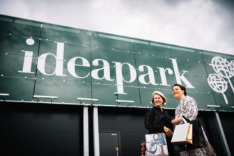
There are two summer kiosks along the route, one in Munakka and the other in Harjunmäki. As the route travels close to the centres of Ilmajoki and Seinäjoki, the visitor attractions and services in these towns are within easy reach. The length of the route is about 44 km. – 3.3 km from Herkooli Manor (Nikkola bridge) to the centre of Ilmajoki – 1.7 km from Katilantie, Alakylä to Ideapark – about 3.5 km from Heikkilä to the centre of Seinäjoki
If your schedule allows you to choose, a still day may be better as the South Ostrobothnian plains do not offer protection against wind. There are two summer kiosks along the route, one in Munakka and the other in Harjunmäki. If you start from Ilmajoki, Herkooli Manor makes an excellent starting point. From the direction of Seinäjoki, the route can be started in Alakylä.


